

G A L L E R Y
![]()
![]()
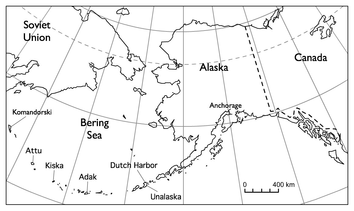
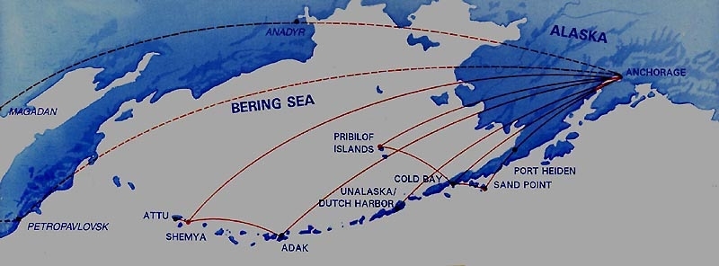
In the early days, Reeve Aleutian Airways was THE way to get out to the Aleutian
Islands and
the Pribilofs (St. Paul Island & St. George Island)
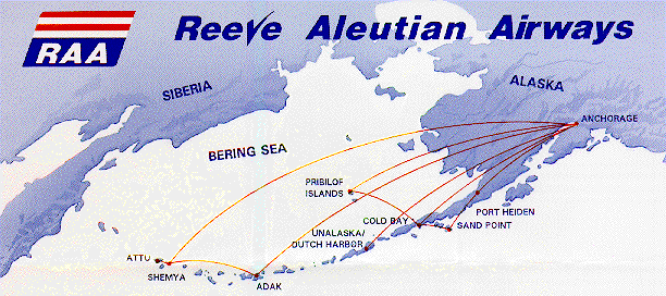
Reeve Aleutian Airways has gone out of business - but
their map provides a geographical view
of Alaska showing the Aleutian Island chain out to Attu Island at the far
western end
-Attu (western most Aleutian Island), Shemya, Adak, Dutch Harbor, and eastward-
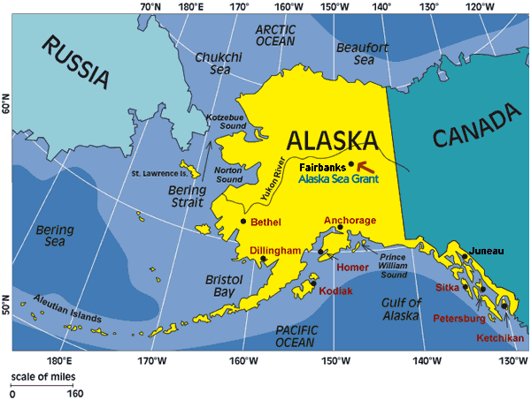
These maps following all provide different aspects to the State of Alaska so are
inserted at the top
Specific places such as Barrow, Prudhoe Bay (Deadhorse), Little Diomede Island,
Wales, Wainright,
Kotzebue, Nome, Gambell on St. Lawrence Island, Savoonga on St. Lawrence Island,
Attu Island
at the end of the Aleutian chain, Shemya Island, Adak Island, Dutch Harbor
(Unalaska), and back
to Kodiak Island, King Salmon, and the the entire 'mainland' portion of this
largest state in our country.
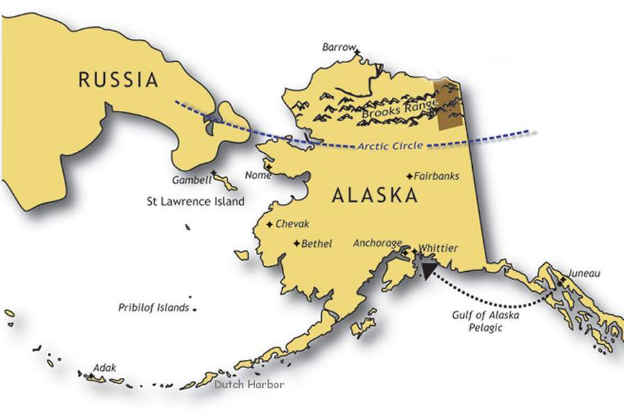
When Sarah Palin stated she "could see Russia from here" it would have to be at
Gambell, St. Lawrence Island, Alaska
There you can LITERALLY See Russia as a Fact!
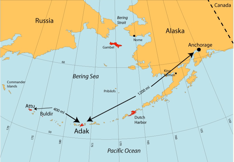
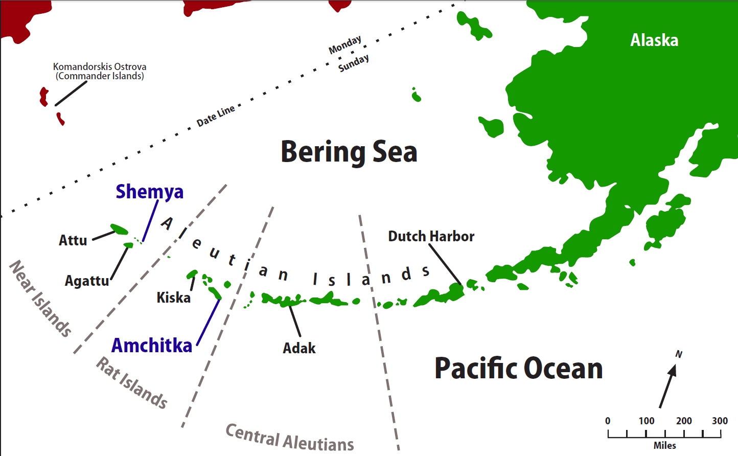
ALEUTIAN
ISLANDS GOING WEST TO EAST TOWARD ANCHORAGE
Beginning with Attu Island thru Shemya Island

Attu Island
-our birding area was in the southeast bay area-
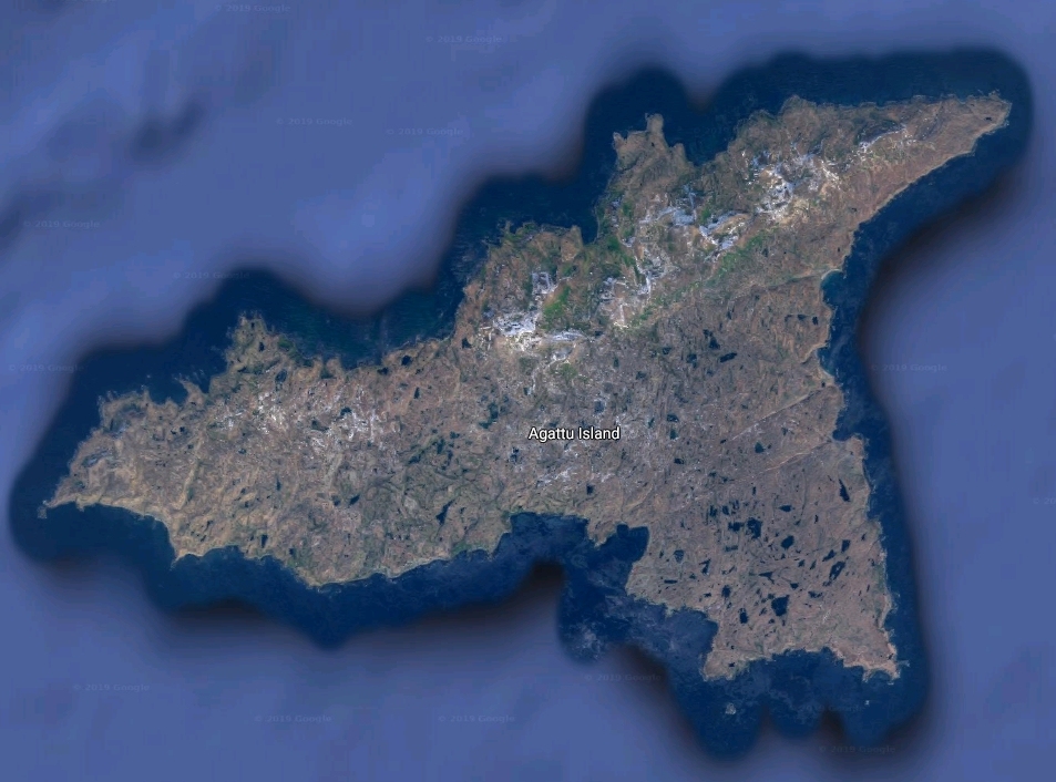
then Agattu Island
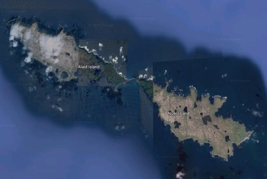
then Alaid Island & Nizki Island
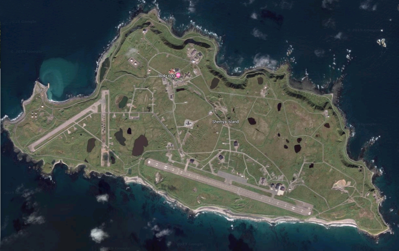
then Shemya Island
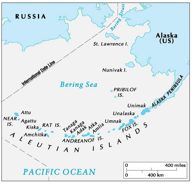
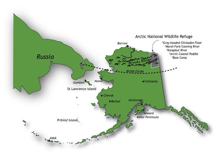
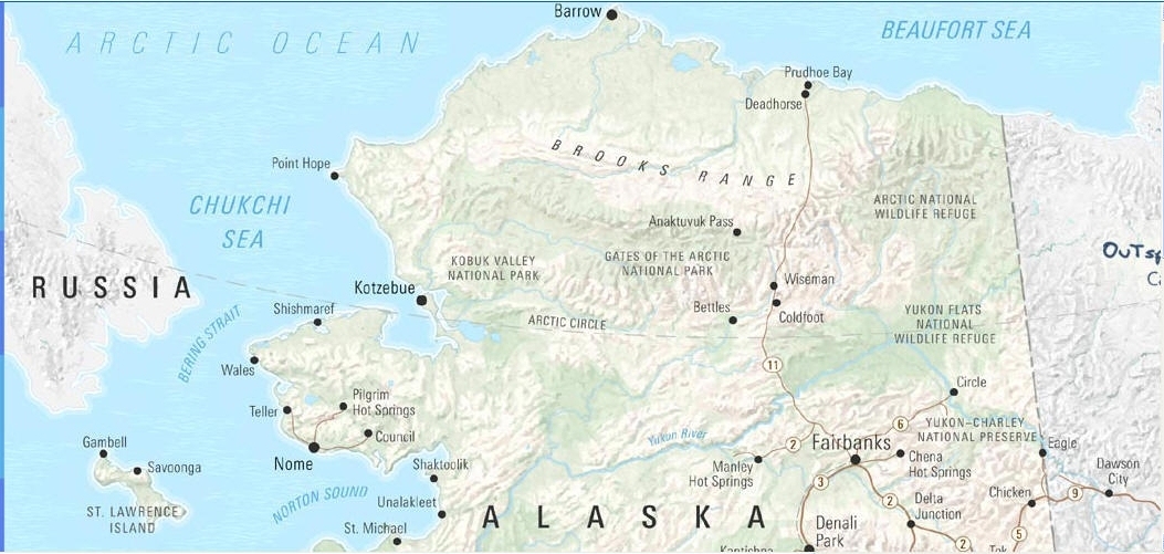
Showing the Chukchi Sea and Beaufort Sea forming the Arctic Ocean
in the north
and the Aleutian Islands along the southern portion of Alaska
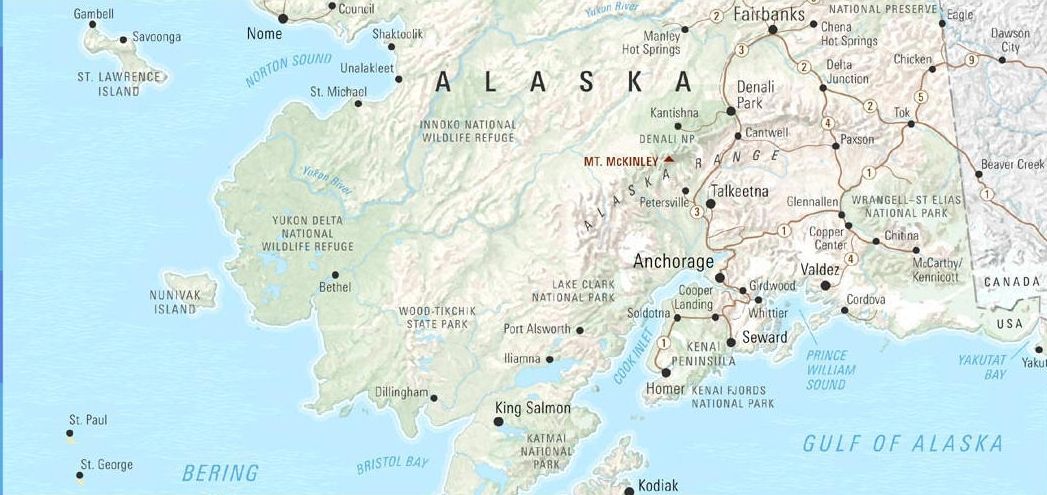
BELOW ARE SOME SELECTED IMAGES AROUND THE STATE OF ALASKA
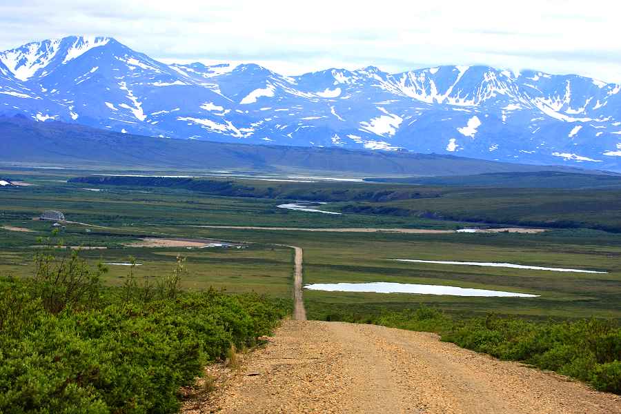
North Slope Haul Road north of Fairbanks
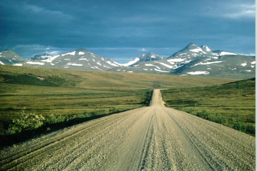
North Slope Haul Road between Fairbanks, Alaska
and the north slope
village of Prudhoe Bay, Alaska at the Arctic Ocean. Over 465 miles of pristine wilderness
with the only 'inhabited' spots being the Yukon River crossing
(a gas station) and the small village of Coldfoot,
named after explorers who got 'cold' feet
and turned around!!!
At the beginning of this road there is a sign that states "Speed Limit 55 mph
next 465 miles"!!!
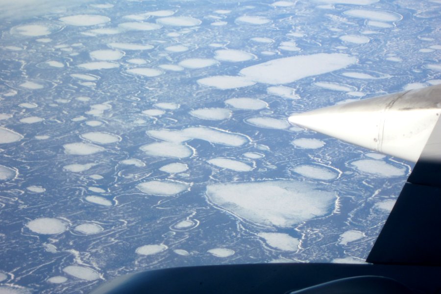
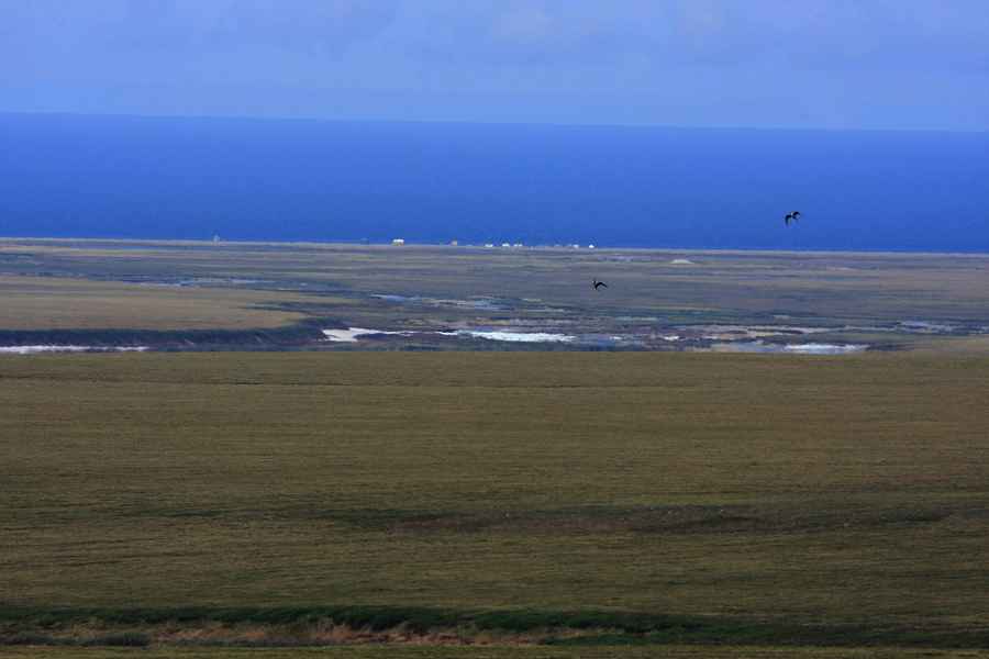
The "North Slope" just south of Barrow, AK - what nearly
the entire North Slope looks like in early spring
before the ice melts. This is a huge area of nothing but frozen
tundra (which also holds Anwar NWR)
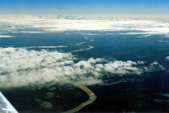
Yukon River, Alaska
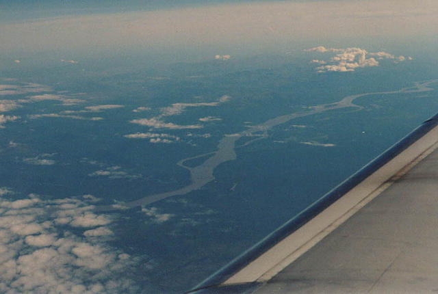
Yukon River, Alaska
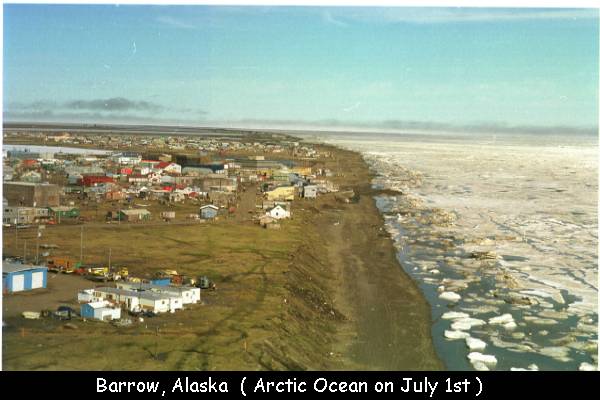
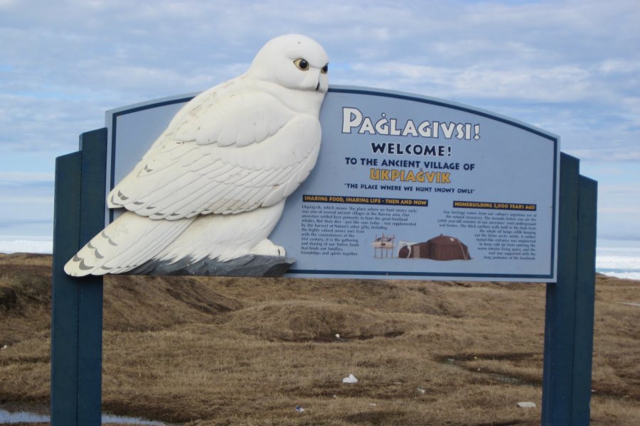
BARROW, ALASKA

Barrow, Alaska
Barrow, Alaska (northernmost inhabited village in North America)
looking north-east
with the Arctic Ocean still in ice cap on the 1st of July ! ! !
Barrow, Alaska
Barrow, Alaska
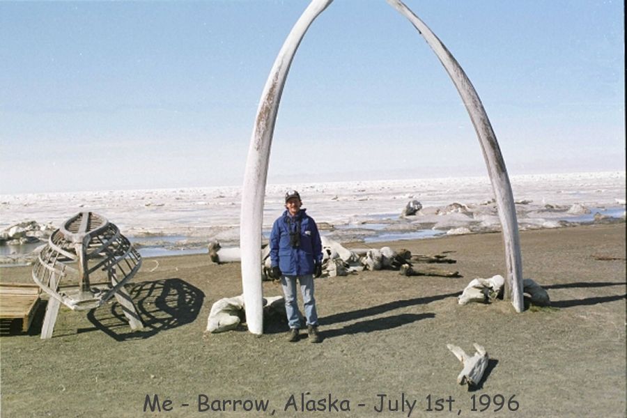
Me up at Barrow, Alaska when I was young and skinny LOL
-Christopher (my Son) taking the picture
with the still nearly frozen Arctic Ocean in July-
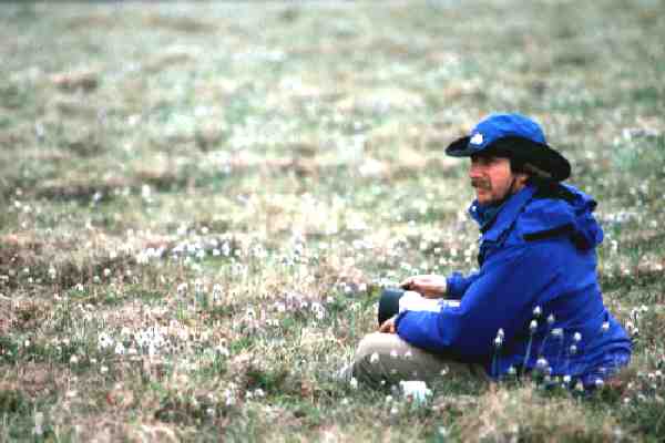
Me, just hangin' out 70 miles north of Nome, Alaska along the
Kougarok Road
and as many miles to the nearest gas station
or civilization ! !
.....remember, there are Grizzly! Not to mention Musk Ox.
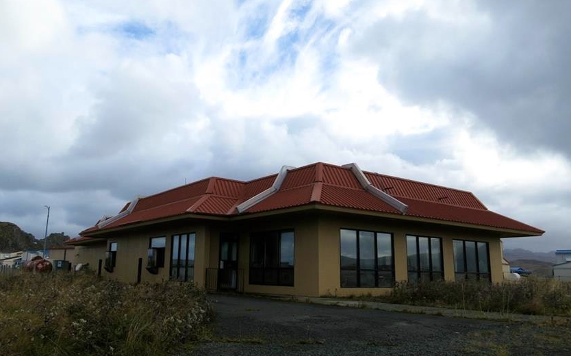
ADAK ISLAND, ALASKA
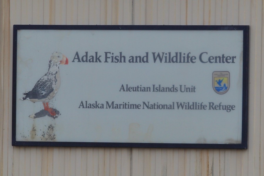
Adak Island, Alaska
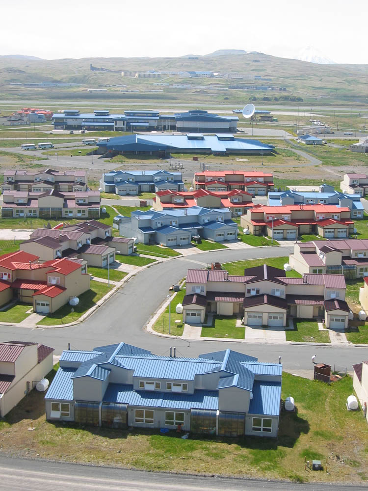
Adak Island, Alaska
-back when the US Navy base was operational-
now totally dilapidated and falling apart
We stay in these townhouses now while there
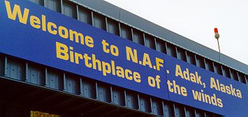
Adak - the Birthplace of the Winds
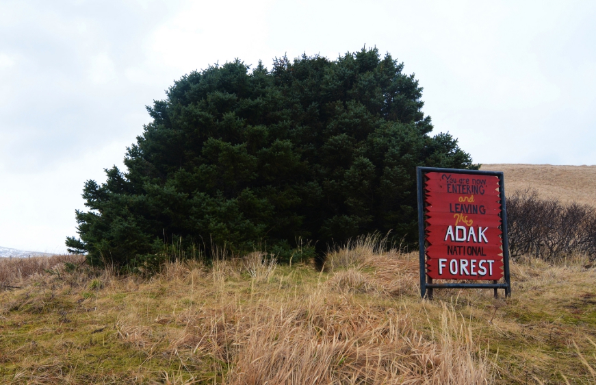
Adak National Forest
the old McDonalds Fast Food at Adak after closing the base
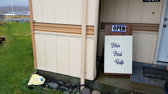
Blue Bird Cafe - at this time the only cafe at Adak but things change quite
regularly
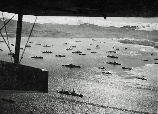
Adak and harbor during World War II
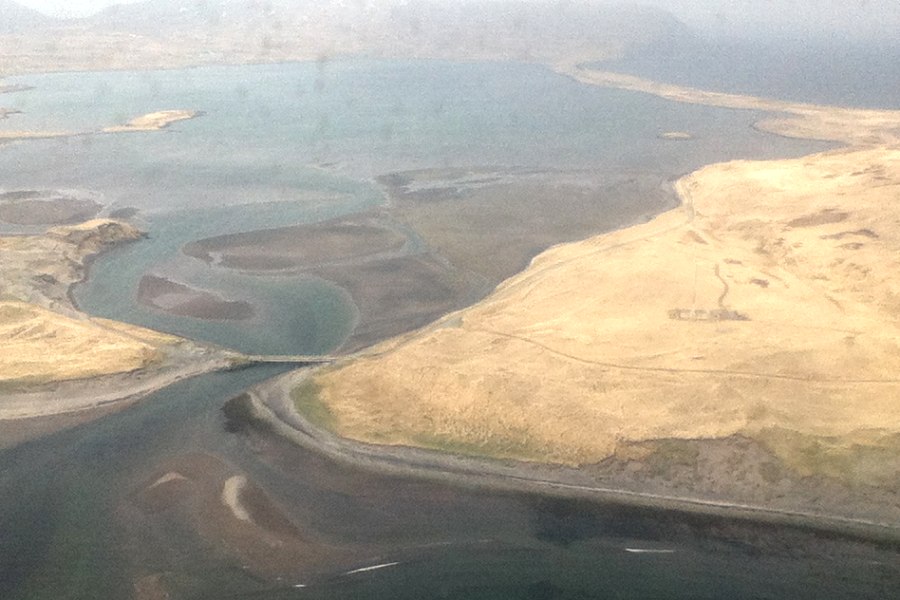
Adak Island, Alaska
Clam Lagoon
NOME, ALASKA
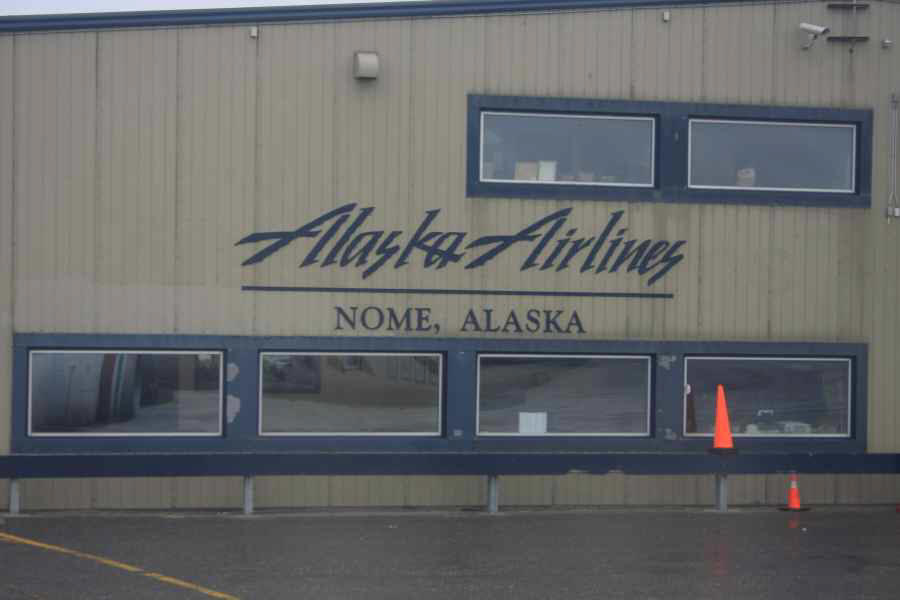
Nome, Alaska
-note: nearly every single Alaska Airlines Terminal building looks alike
throughout the state
with just the town name changed!
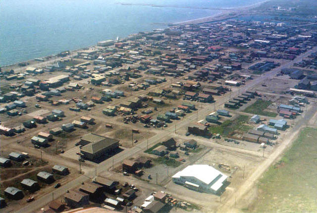
Nome, Alaska
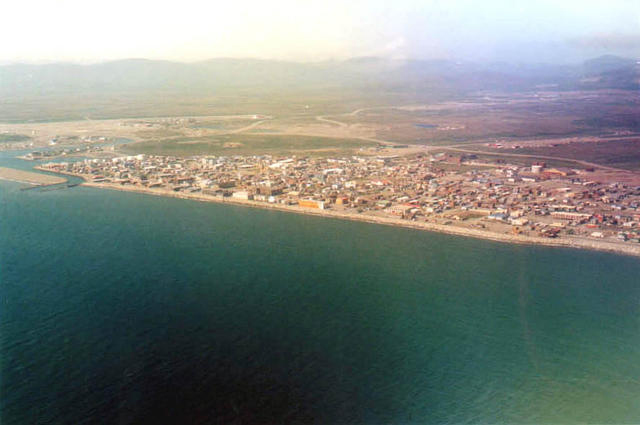
Nome, Alaska
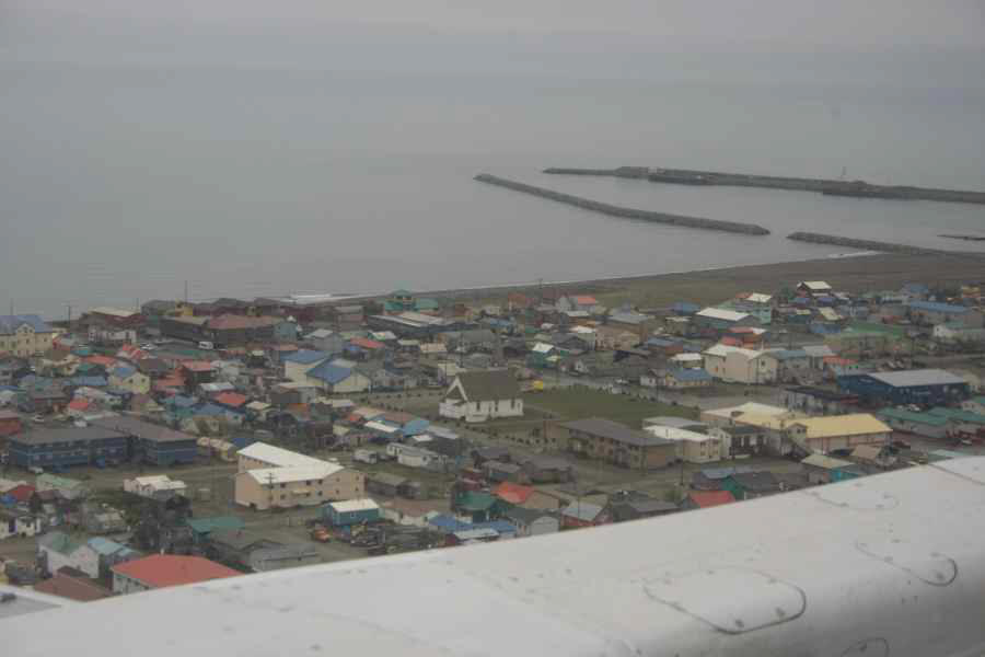
Nome, Alaska
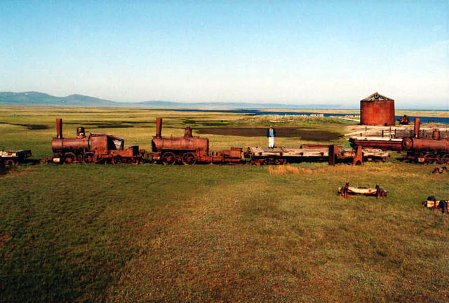
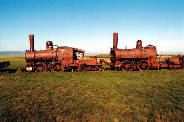
Nome, Alaska
-the "Train to Nowhere" out by Safety Lagoon-
Nome, Alaska
-way up north on the Kougarok Road from Nome-
Nome, Alaska
-out the Teller Road from Nome-
-at Wooley Lagoon in the background-
and Jaegers patrolling the tundra
Nome, Alaska
-way out the Teller Road from Nome-
TELLER, ALASKA
Teller, Alaska
-way out the Teller Road from Nome-
FLYING FROM NOME, ALASKA TO GAMBELL, ST. LAWRENCE ISLAND
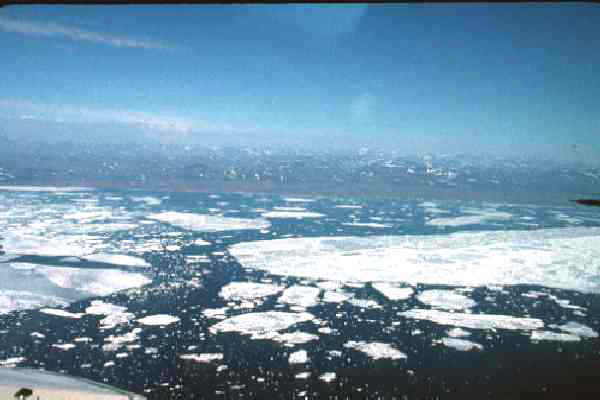
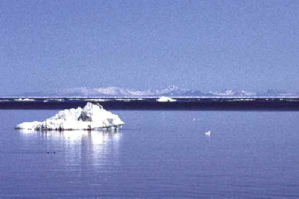
Taking off from Nome, Alaska with the Bering Sea ice cap just
breaking up in late May,
heading to the Yupik Inuit Eskimo village of Gambell on St. Lawrence Island! ! !
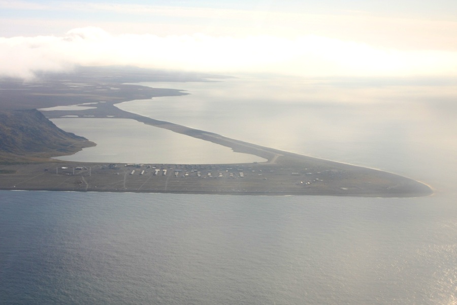
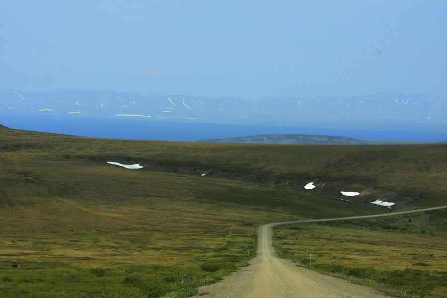
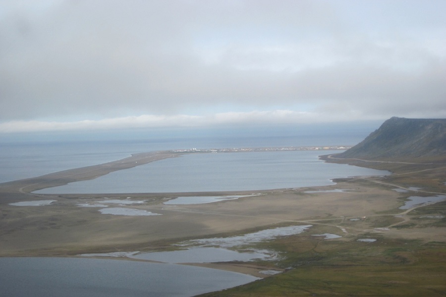
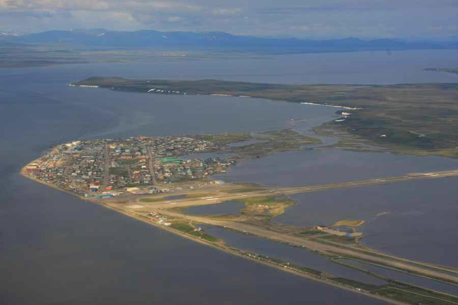
Gambell, St. Lawrence Island, Alaska in the Fall
-showing Gambell village and Troutman Lake-
-looking south as we were landing-
-airstrip on the right-
Gambell, St. Lawrence Island, Alaska in the Fall
-looking north as we were landing-
-airstrip in the left top portion of photo-
-showing Gambell village and Troutman Lake in the
background-
-and Sivuqaq Mountain on the right
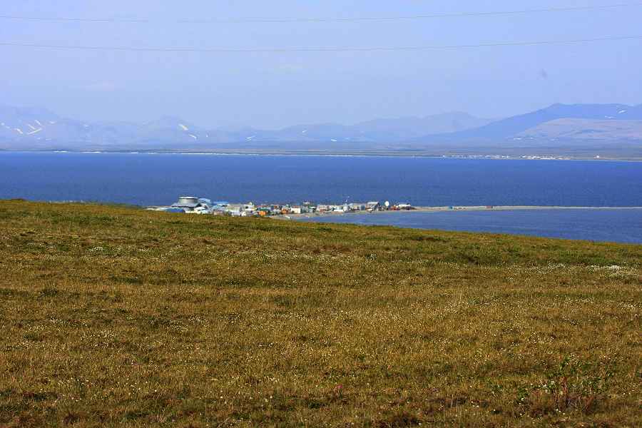
View from Gambell (St. Lawrence Island), Alaska (an Yupik Inuit Eskimo Village)
overlooking
the Bering Sea toward Siberia (yes, Siberia ) with a look,
honestly, at TOMORROW
The International date line runs
half-way between Gambell and Siberia
(38 miles away - the mountains you see in the background)
and
19 miles away is the International Date Line thus "tomorrow", sooooo.....
you are looking at
TOMORROW
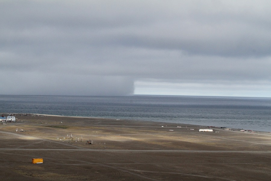
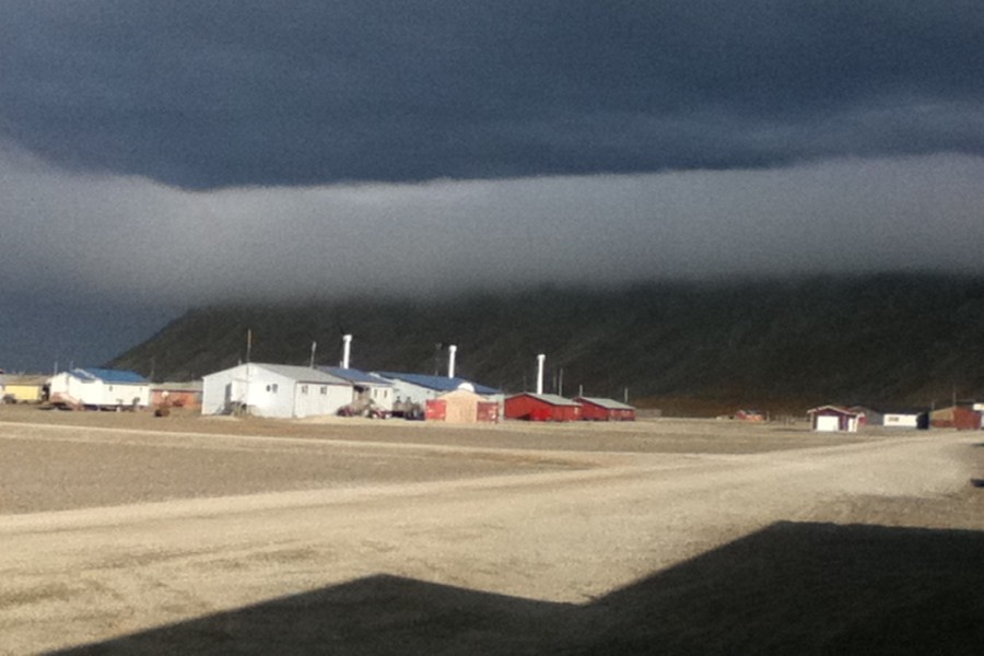
Gambell, St. Lawrence Island, Alaska in the Fall
-with a big Bering Sea Storm rolling in-
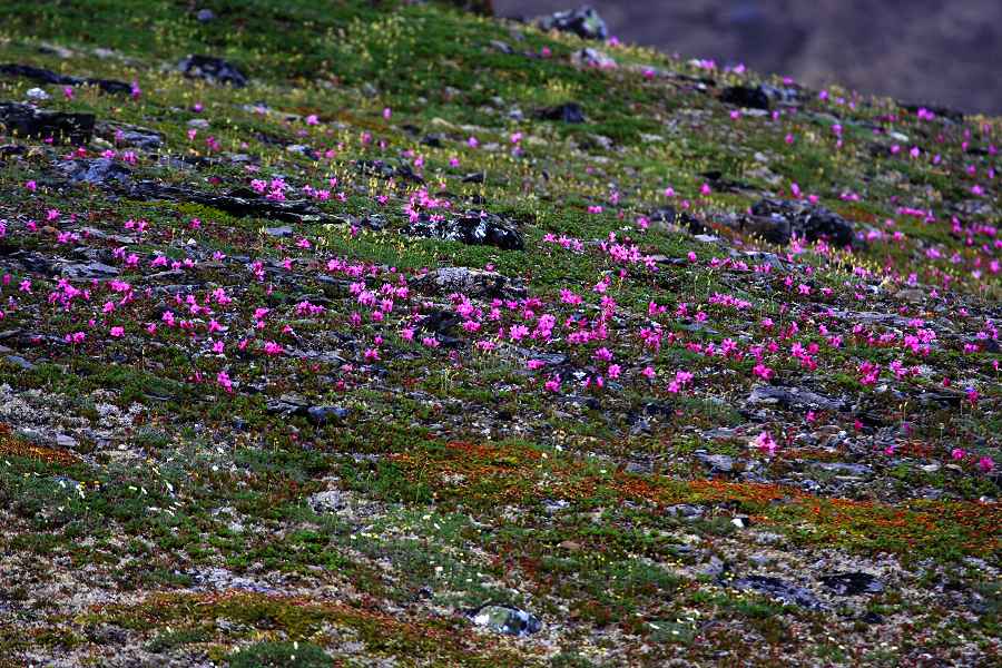
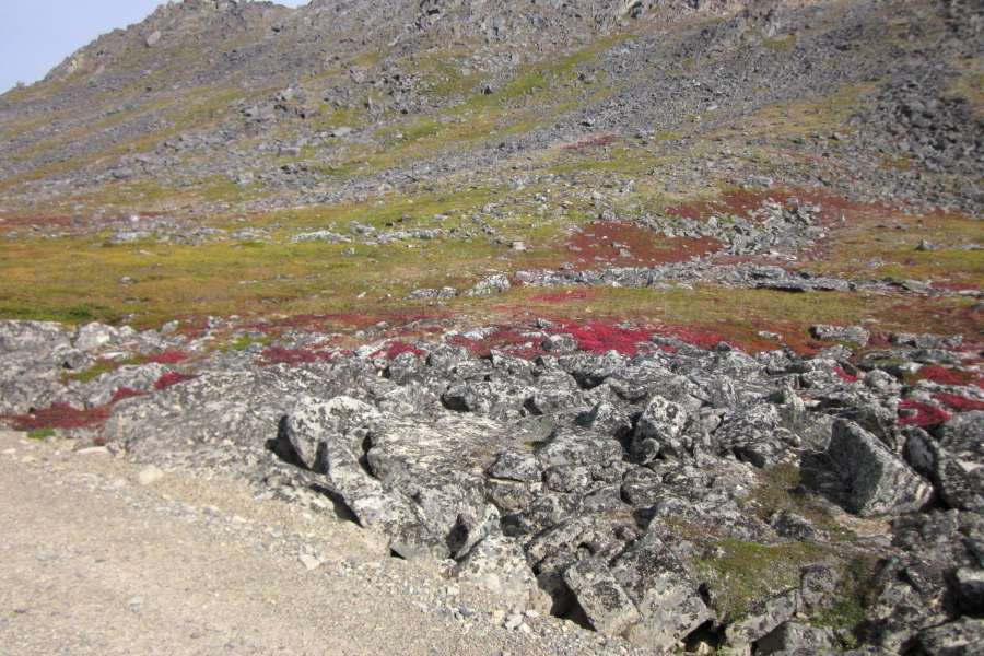
Arctic Tundra and flowers in the Fall
-Gambell, Alaska-
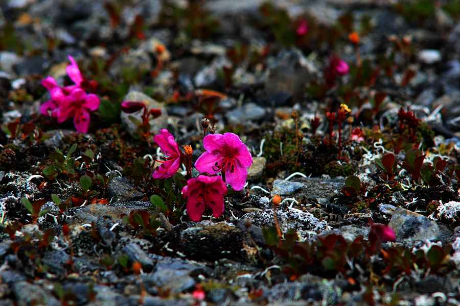
Arctic Tundra and flowers in the Fall
-Gambell, Alaska-
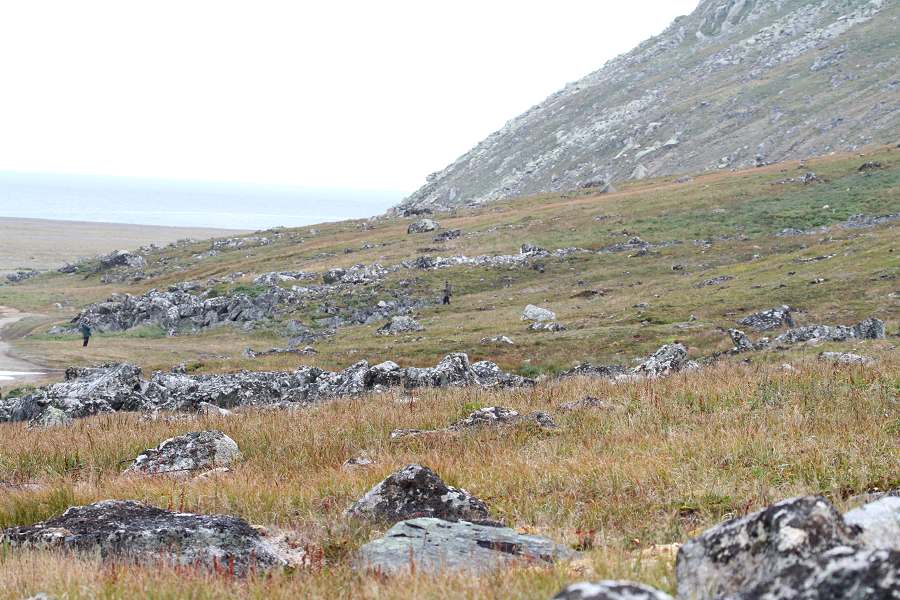
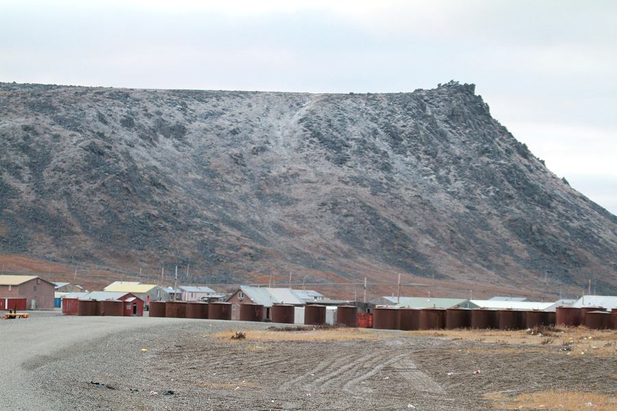
Gambell, St. Lawrence Island, Alaska in the Fall
Gambell, St. Lawrence Island, Alaska in the Fall
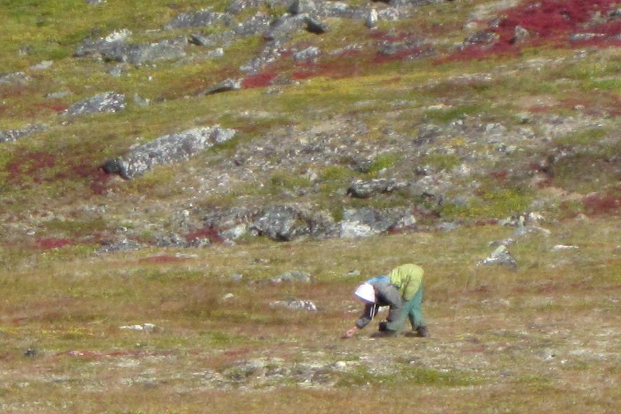
Gambell, St. Lawrence Island, Alaska in the Fall
-woman picking berries in the fall-
Gambell, St. Lawrence Island, Alaska in the Fall
-with a big Bering Sea Storm overhead-
Gambell, St. Lawrence Island, Alaska
-and Sivuqaq Mountain after first dusting of snow in September-
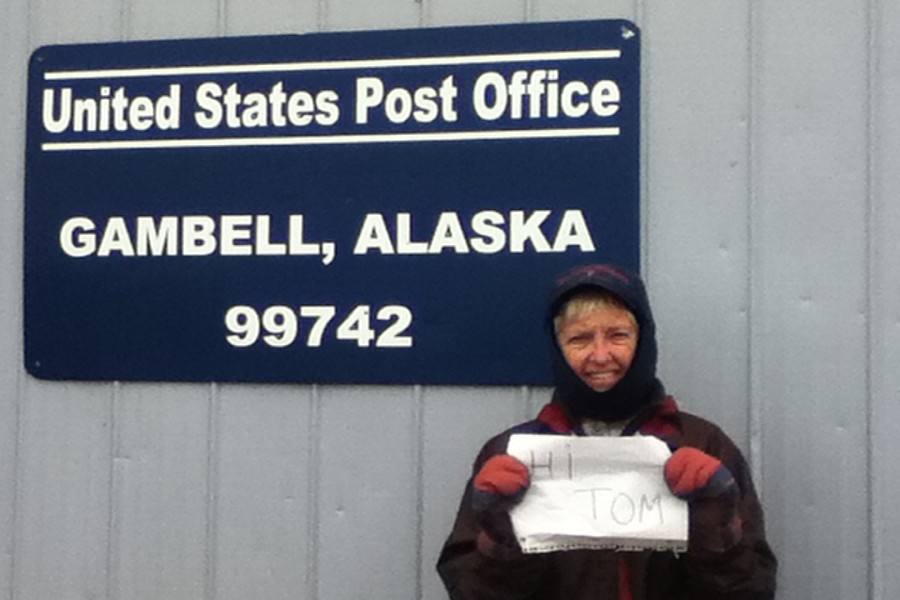
Donna Coates from Kentucky saying hi to her Mailman back home
KOTZEBUE, ALASKA
Kotzebue, Alaska form the air
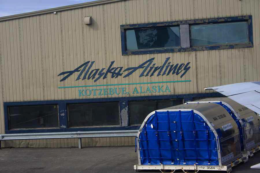
Alaska Airlines Terminal Building - Kotzebue, Alaska\
DENALI - MT. MCKINLEY, ALASKA
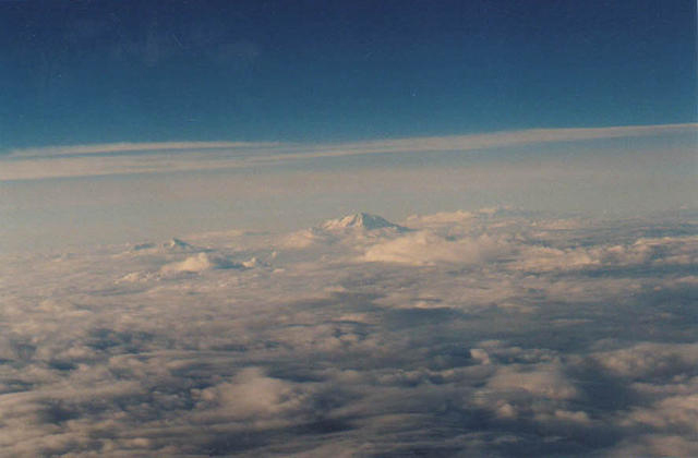
Mt. Denali (Mt. McKinley), Alaska
-flying from Anchorage to Barrow, Alaska-
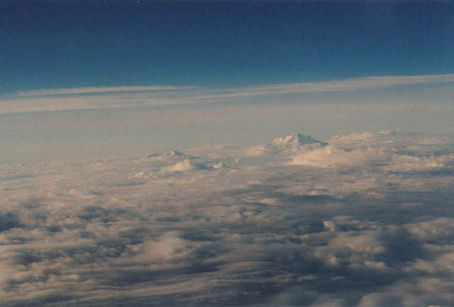
Mt. Denali (Mt. McKinley), Alaska
-flying from Anchorage to Barrow, Alaska-
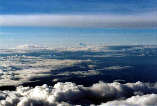
Mt. Denali (Mt. McKinley), Alaska
-flying from Anchorage to Barrow, Alaska-
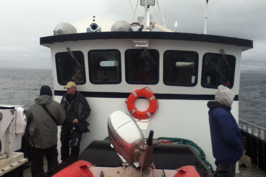
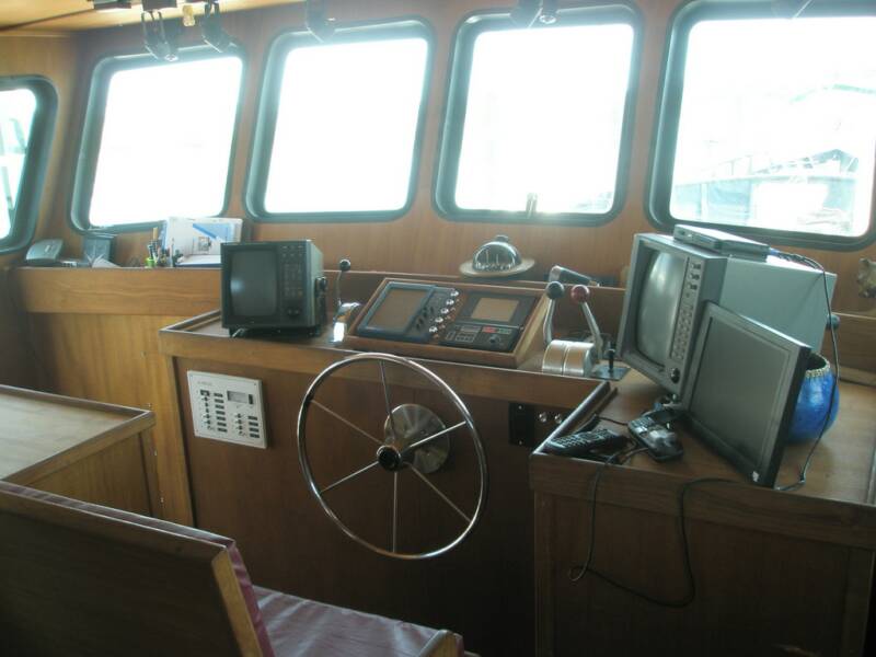
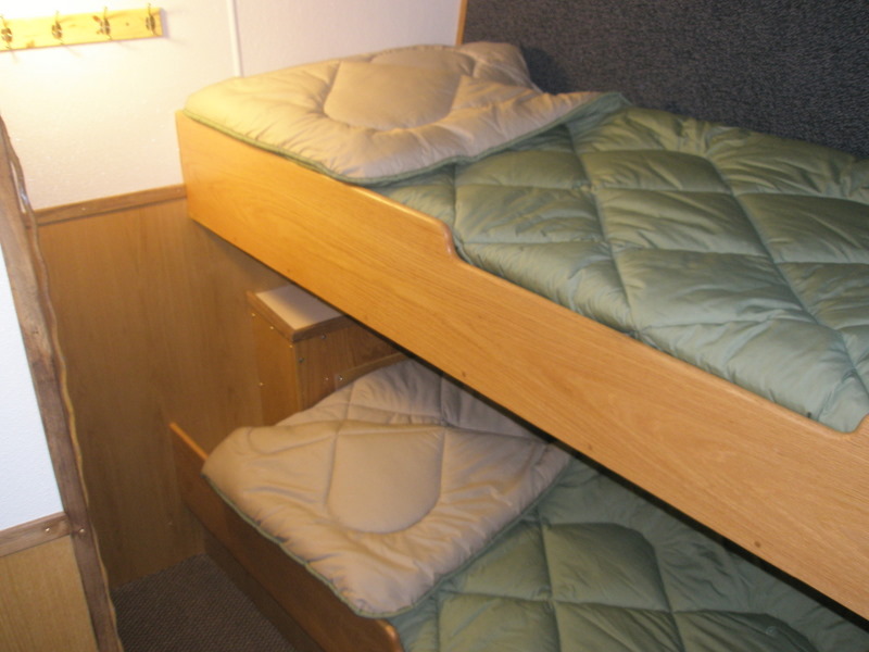
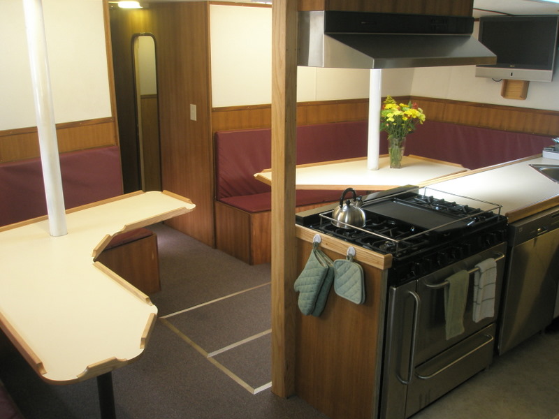
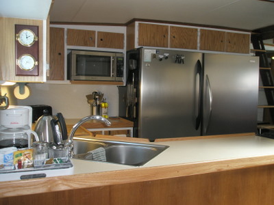
BERING SEA RESEARCH VESSEL, ALASKA
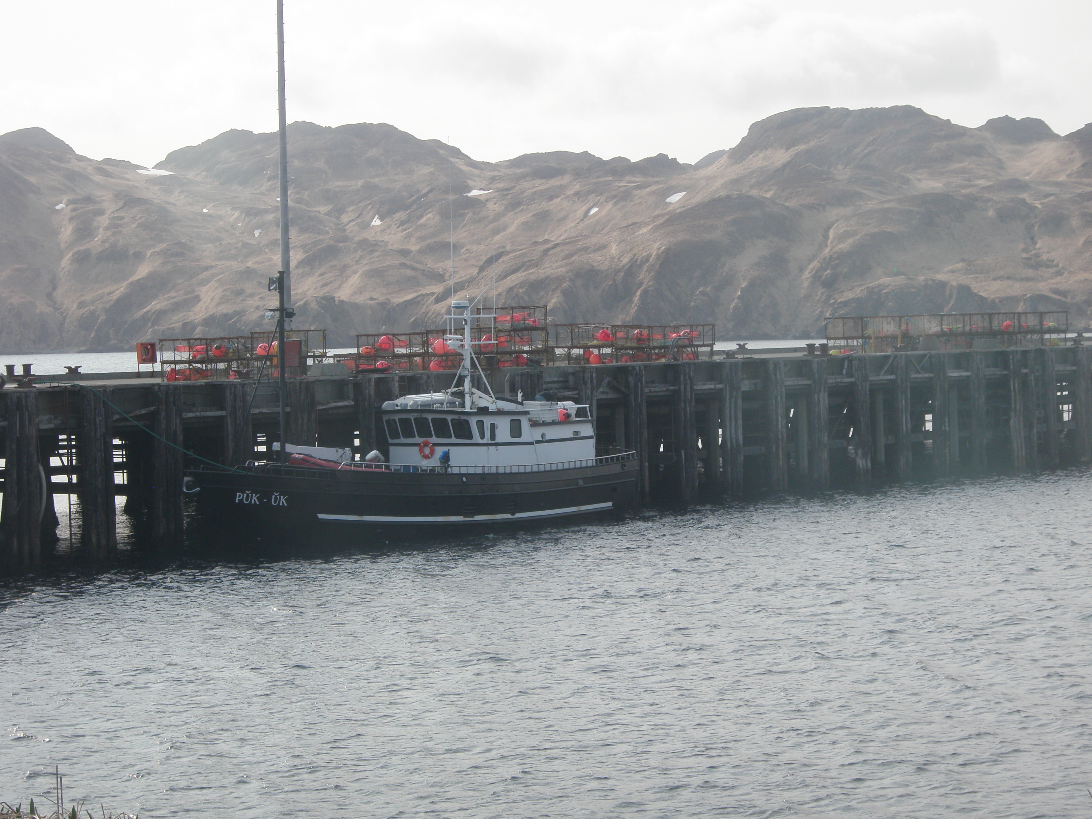
Bering Sea of Alaska (Attu Island to Adak to Dutch Harbor)
-Puk-uk Research vessel-
-here docked at Adak-
and before our trip out and through 2 Gail Force Storms
thought I was goin' to DIE!!!
Bering Sea of Alaska (Attu Island to Adak to Dutch Harbor)
-Puk-uk Research vessel-
-here docked at Adak-
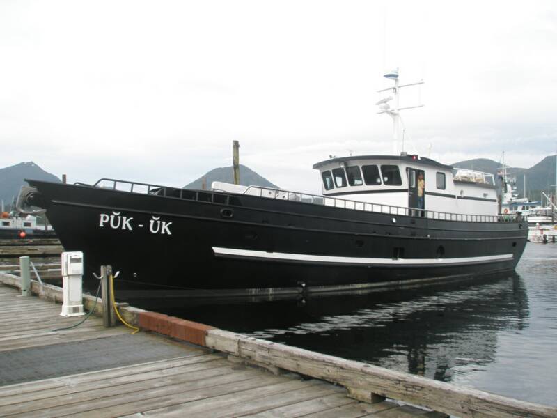
Bering Sea of Alaska (Attu Island to Adak to Dutch Harbor)
-Puk-uk Research vessel-
-out along the Aleutians-
Bering Sea of Alaska (Attu Island to Adak to Dutch Harbor)
-Puk-uk Research vessel-
Bering Sea of Alaska (Attu Island to Adak to Dutch Harbor)
-Puk-uk Research vessel-
Bering Sea of Alaska (Attu Island to Adak to Dutch Harbor)
-Puk-uk Research vessel-
Bering Sea of Alaska (Attu Island to Adak to Dutch Harbor)
-Puk-uk Research vessel-
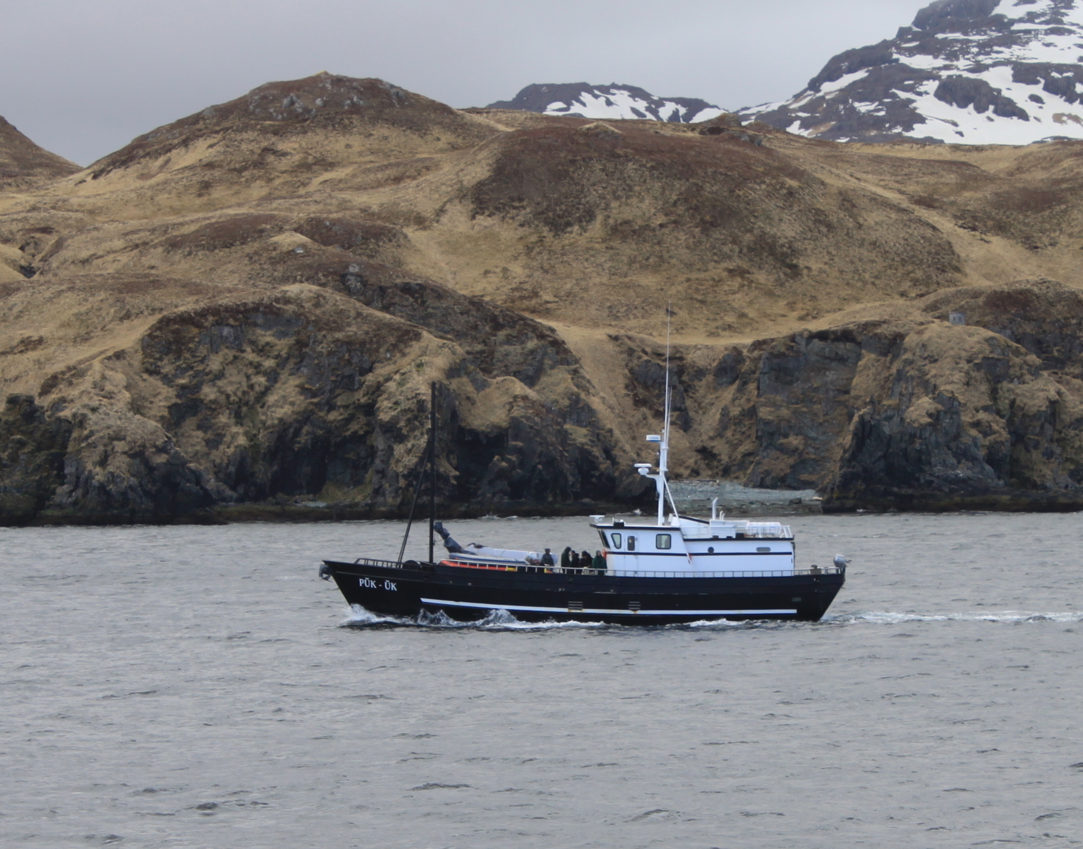
Bering Sea of Alaska (Attu Island to Adak to Dutch Harbor)
-Puk-uk Research vessel-
-out along the Aleutians-
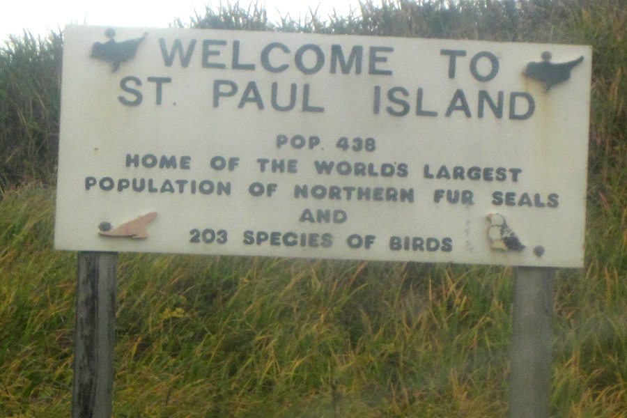
ST. PAUL ISLAND, ALASKA
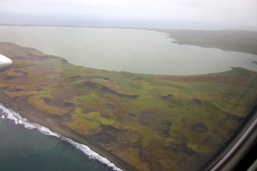
Landing at St. Paul Island in the Bering Sea on Pen Air Airlines
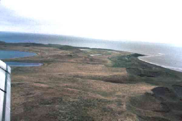
Landing at St. Paul Island in the Bering Sea on Pen Air Airlines
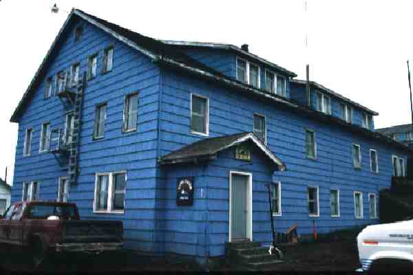
the Old King Eider Hotel back in the 1990's
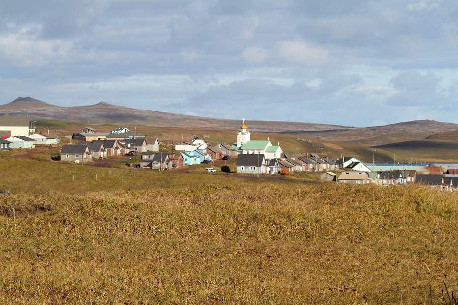
Nice sunny day at St. Paul, Alaska
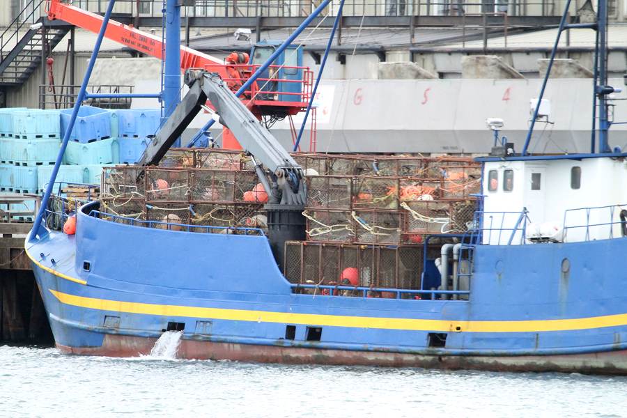
One of the "crabbing" boats getting ready to head out on the Bering Sea for Crab
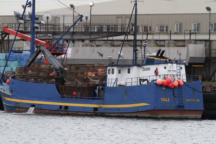
One of the "crabbing" boats getting ready to head out on the Bering Sea for Crab
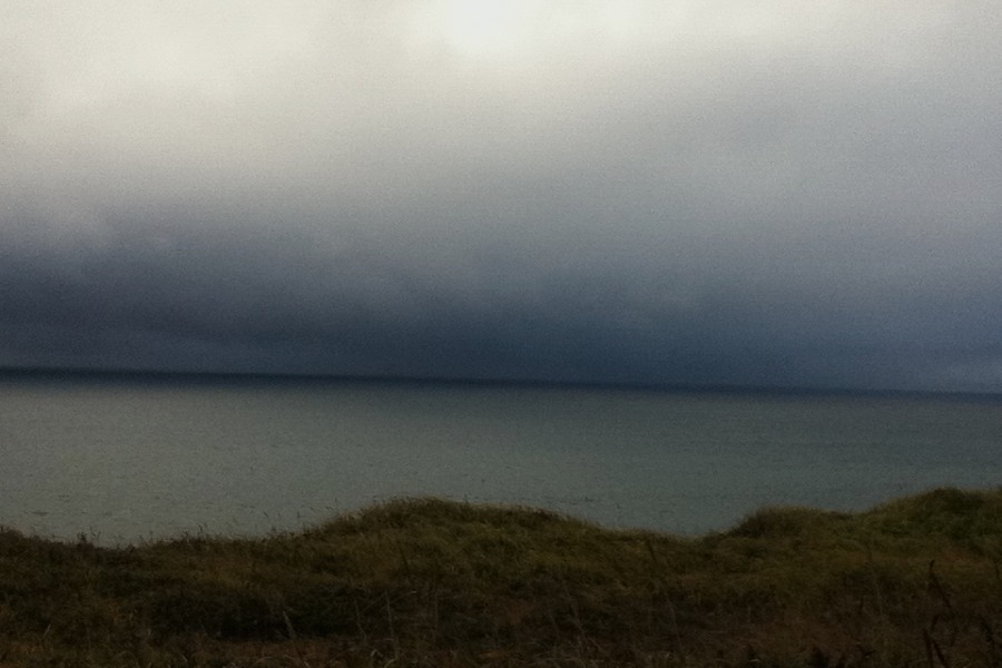
Storm a brewing in the Bering Sea of St. Paul Island, Alaska
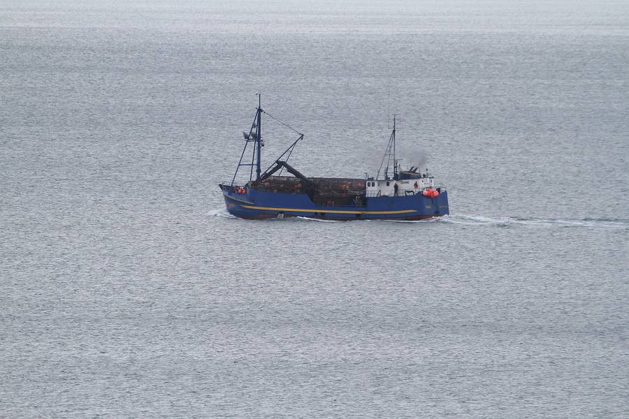
One of the "crabbing" boats getting ready to head out on the Bering Sea for Crab
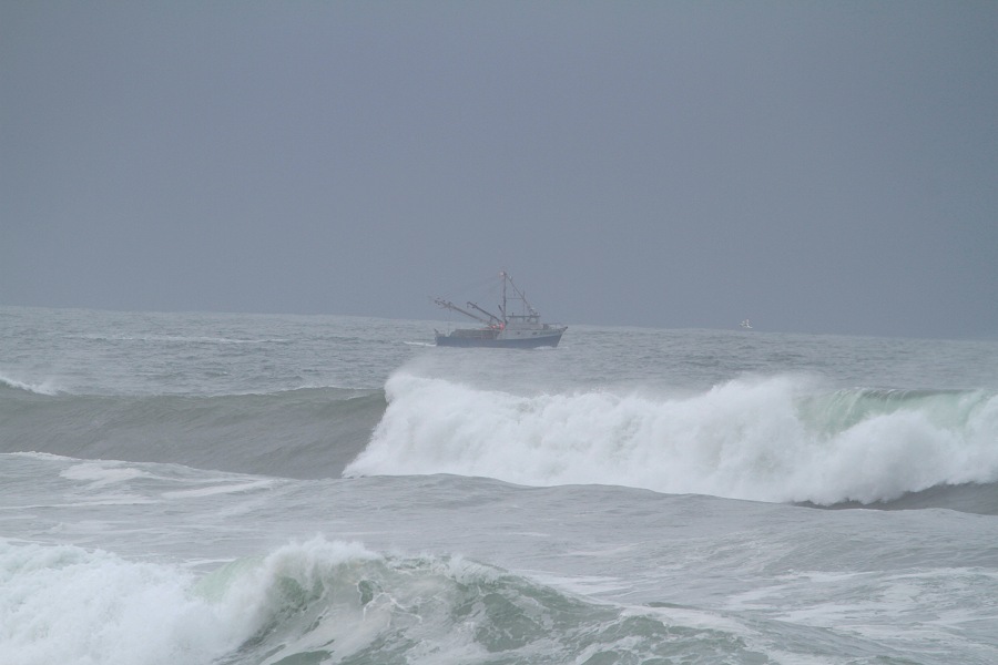
Unbelievable what these fisherman will do to catch crabs
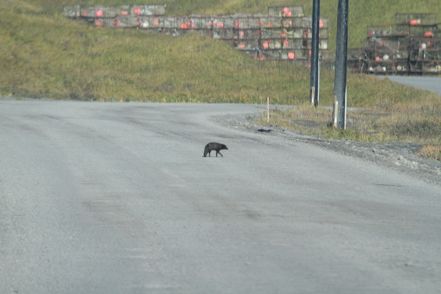
The infamous "Crab Pots" of St. Paul Island, Alaska where many great birds have
been found
and a 'sneaky' Arctic Fox looking for food
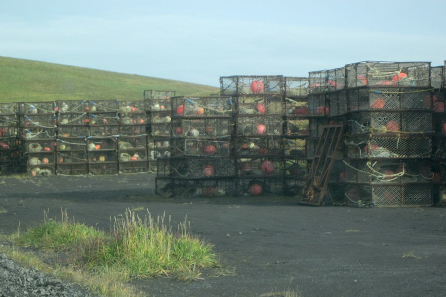
The infamous "Crab Pots" of St. Paul Island, Alaska where many great birds have
been found

There is much more to come but it
takes a great deal of time
to scan and upload images for your enjoyment !!
Thanks for your patience
![]()
![]()